
AI-Powered Measurement & Estimating Features for Property Service Contractors
Explore SiteRecon’s AI-powered takeoff software, professional proposals, and operational analytics—built specifically for landscape, snow removal, and paving contractors.
.avif)


Everything Your Team Needs to Move Faster
Whether you're bidding jobs, managing accounts, or leading crews—SiteRecon has features designed for your specific workflow. Select your role below.
Estimators and Salespeople
Business Owners
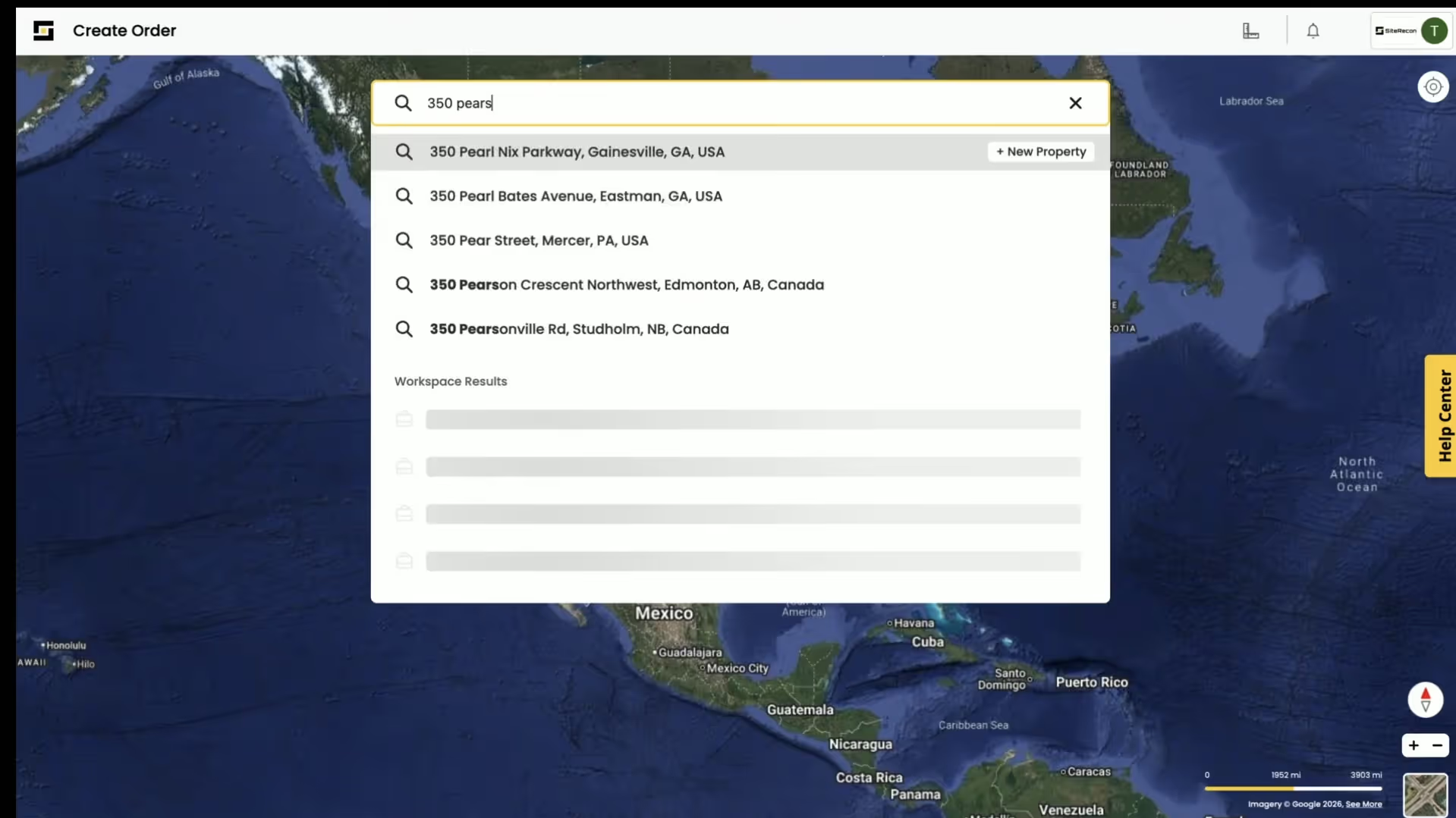
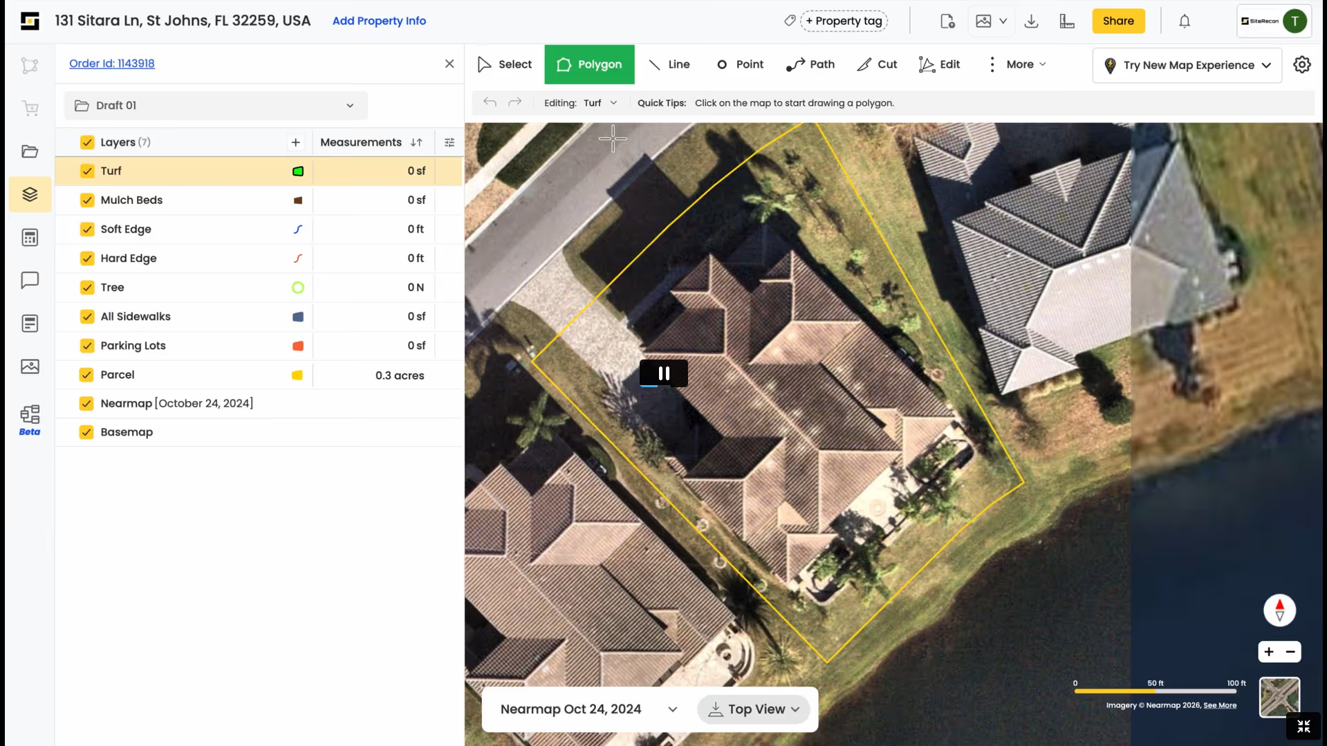
Win More Bids Without Stepping on Site
Create accurate takeoffs in minutes—not hours. Reduce site visits by 80% and bid more properties without adding headcount.
Account Managers
Operations Managers
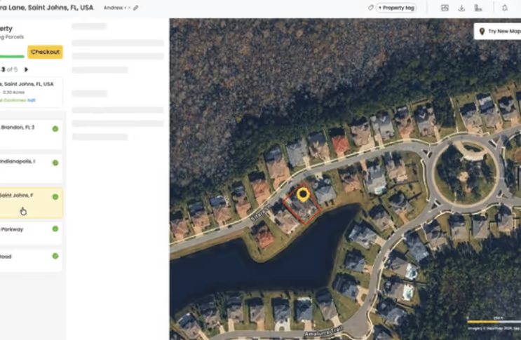
Manage Properties, Accounts, and Upsells in One Place
Document every property with visual maps, track service history, and identify upsell opportunities across your portfolio.
Crews and Quality Control
Account Managers
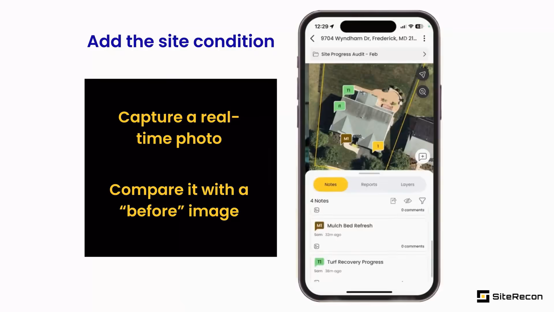
Keep Crews Aligned and Job Quality Verified in the Field
Access property maps in the field, log work completion, and capture site conditions—all from the Plato.
Business Owners / Executives
Estimators
See What’s Working, What’s Not, and Where to Scale Faster
Track estimating performance, monitor win rates, and identify operational bottlenecks with real-time analytics.
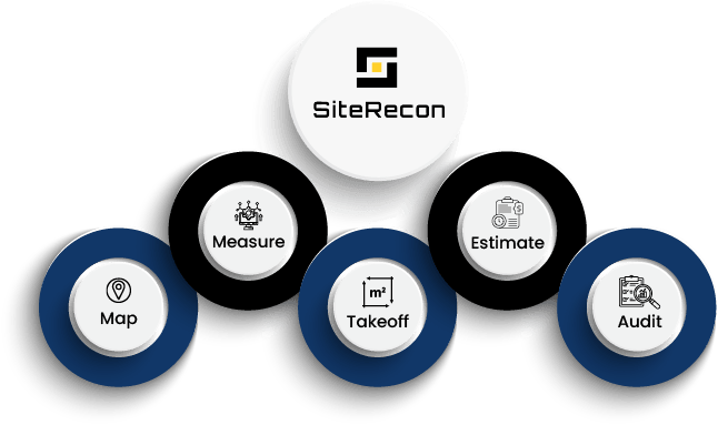
One Platform. Every Property Service Workflow
Before SiteRecon, contractors juggled spreadsheets, site visits, and disconnected tools. SiteRecon brings property mapping, measurements, estimates, and proposals into one connected platform—helping teams eliminate manual work, improve accuracy, and scale operations with confidence.
Trusted by 500+ Contractors Measuring Millions of Acres Annually
Property service teams use SiteRecon to measure faster, estimate smarter, and win more work.
1+ Million Sites Mapped
4+ Million Acres Measured
500+ companies served
5000+ Users
Ready to Measure Faster and Win More Jobs?
See how SiteRecon helps teams complete takeoffs in minutes, generate accurate bids, and close more deals—all from one platform.
Frequently Asked Questions About SiteRecon Features
SiteRecon offers AI-powered remote takeoffs, bulk property measurements, multi-layer service mapping, self-measurement tools, and expert done-for-you material takeoffs. These features deliver high accuracy measurements in minutes using satellite and aerial imagery—without requiring site visits.
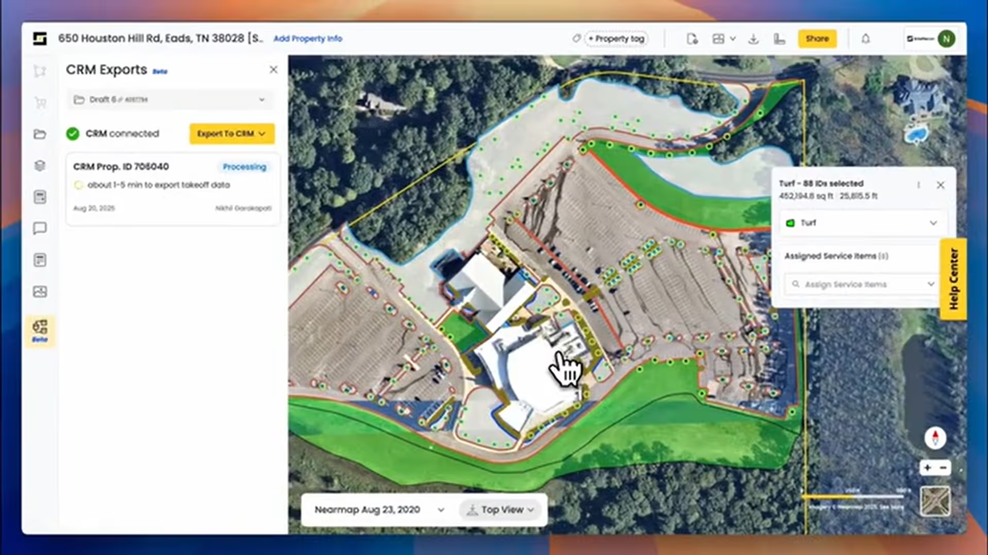
SiteRecon's measurement features feed directly into quantity takeoffs and estimates, allowing estimators to generate accurate bids in minutes rather than hours. The platform uses localized production rate benchmarks and integrates with landscape CRMs like Aspire, LMN, and SingleOps.
SiteRecon includes professional proposal generation with customizable templates, site audit documentation, and visual property maps. Proposals can include multiple service options with accurate pricing based on AI-verified measurements.
Yes. SiteRecon integrates with leading landscape industry CRMs including Aspire, LMN, SingleOps, Arborgold, Real Green, BOSS, Jobber, and others. Measurement data flows seamlessly into your existing estimating and proposal workflows.
SiteRecon serves four primary roles: Estimators and Salespeople (accurate takeoffs), Account Managers (property documentation), Crews and QC Teams (mobile field tools), and Business Owners/Executives (operational reporting and analytics)