
Self-Measurement Tools for Property Takeoffs
Measure Any Property Yourself in Minutes
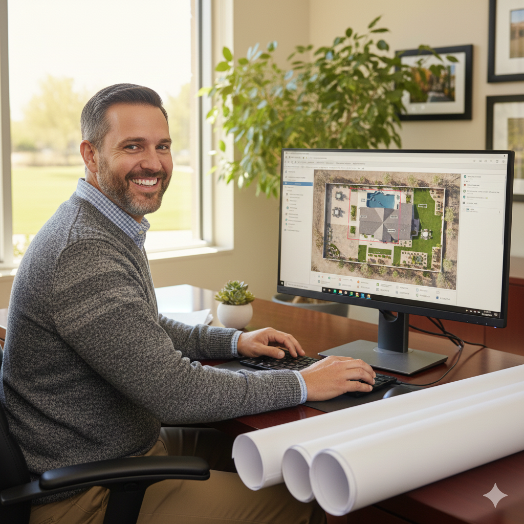
SiteRecon's intuitive point-and-click property measurement tools put accurate takeoffs at your fingertips. Draw polygons, trace edges, and calculate areas directly on high-resolution aerial imagery—no specialized training, no expensive equipment, no site visits required.
Full Control Over Every Property Measurement
.avif)
Point-and-Click
Measure any property feature with intuitive drawing tools. Click to place points, trace boundaries, and calculate square footage or linear feet instantly. If you can use Google Maps, you can measure properties in SiteRecon—most users are productive within minutes.
.avif)
Refine Measurements
Start with AI-powered takeoffs and fine-tune the details yourself. Adjust boundaries, split zones, add missed features, or correct edge cases. Combine AI speed with human precision for measurements you can stand behind.
.avif)
Service Layers & Annotations
Create dedicated measurement layers for every service type—turf, hardscape, beds, snow routes, irrigation zones. Add notes, photos, and service specifications directly to the map so your entire team has context, not just numbers.

Instant Measurements
Measure turf, hardscape, beds, parking lots, and snow routes remotely using satellite and aerial imagery. Get accurate square footage and linear measurements in minutes instead of hours—no truck rolls, no wasted windshield time.
Multi-Layer Service Mapping
Create detailed property maps with distinct layers for every service type—mowing zones, irrigation coverage, snow priority routes, bed maintenance areas. One measurement session captures everything your crews need to estimate and execute.
Bulk Property Processing
Measuring a portfolio of 50 properties? Upload your list and get complete takeoffs back fast. Scale your estimating capacity without adding headcount—perfect for large commercial bids and multi-site contracts.
What SiteRecon Clients Are Saying About Self-Measurement Tools
"SiteRecon is a game-changer. It’s made our lives easier, saved us time, and helped us grow. We can’t imagine going back to the old way of doing things."

Benefits and ROI Results

Aspire
Lorem ipsum dolor sit amet, consectetur adipiscing elit. Suspendisse varius enim in eros elementum tristique. Duis cursus, mi quis viverra ornare, eros dolor interdum nulla, ut commodo diam libero vitae erat.
BOSS
Lorem ipsum dolor sit amet, consectetur adipiscing elit. Suspendisse varius enim in eros elementum tristique. Duis cursus, mi quis viverra ornare, eros dolor interdum nulla, ut commodo diam libero vitae erat.
Benefits and ROI Results
When a hot lead comes in or an RFP drops, your estimators can measure the property immediately and turn around a proposal the same day.
Self-measurement tools let you handle standard properties in-house and reserve expert measurement services for complex sites or high-volume bulk orders.
Give every estimator, salesperson, and account manager the ability to pull, edit, and finalize accurate measurements independently.
Explore other features
Frequently Asked Questions About Self-Measurement Tools
Most users are measuring properties confidently within 5-30 minutes. The interface works like familiar mapping tools, click to place points, trace boundaries, and measurements calculate automatically. No CAD experience or technical training required.
Absolutely. Every measurement in SiteRecon is fully editable regardless of how it was created. Adjust AI-generated boundaries, split service zones, add features the AI missed, or refine expert measurements for site-specific details your team knows best.
You can measure area (square footage), linear distance (perimeter, edges, curb lines), and point counts (trees, fixtures, obstacles). Create polygons for turf and hardscape zones, trace lines for sidewalks and bed edges, and drop pins for individual features, all with automatic calculations.
Self-measurements using SiteRecon's high-resolution aerial imagery typically achieve 93-98% accuracy—comparable to or better than wheel measuring and pacing. The imagery provides consistent, repeatable measurements without the variability of manual field methods.
SiteRecon's imagery covers the vast majority of commercial and residential properties across the U.S. For recently developed properties or areas with outdated imagery, you can request updated imagery or upload your own site photos and plans to measure against.
Get Started Today
Ready to put accurate property measurements at your team's fingertips—on demand, on your schedule?