
AI-powered measurement & estimation for field service teams
SiteRecon helps teams measure faster, estimate smarter, and win more bids—across every outdoor property service industry.
Explore industries using SiteRecon

Heading
No disruption to your current systems or workflows.


Designed for every member of your team
Business Owners
Business Owners
Business Owners
Gain visibility into estimating performance, profit margins, and growth opportunities across your entire operation.

Operations Managers
Operations Managers
Operations Managers
Ensure crews have accurate property measurements and reduce costly rework across active jobs.

Account Managers
Account Managers
Account Managers
Respond to client requests quickly, update proposals instantly, and manage multiple accounts with complete clarity.

Estimators
Estimators
Estimators
Capture site details remotely, generate accurate takeoffs, and submit winning bids faster without extra tools.

SiteRecon Improves Every Part of Your Property Service Business
Discover how industry leaders have transformed their estimating operations with SiteRecon, achieving remarkable efficiency and growth.
%201.avif)

Manage simple to complex estimates and projects
Different property types face different measurement challenges. SiteRecon adapts to what you need most—whether that's speed, accuracy, or multi-site scalability.
HOA & Property Management
Standardize property measurements and estimates across multi-property portfolios with consistent accuracy.
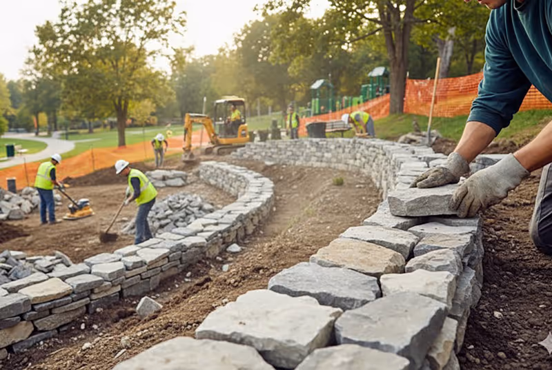
Municipal & Public Works
Create consistent measurement takeoffs for parks, roadways, and public spaces at scale.
Commercial Facilities
Support accurate bidding and project planning for large-scale commercial property sites.
Residential Properties
Measure residential properties quickly and generate accurate estimates that win more bids.
HOA & Property Management
Standardize property measurements and estimates across multi-property portfolios with consistent accuracy.
Municipal & Public Works
Create consistent measurement takeoffs for parks, roadways, and public spaces at scale.
Commercial Facilities
Support accurate bidding and project planning for large-scale commercial property sites.
Residential Properties
Measure residential properties quickly and generate accurate estimates that win more bids.
Frequently Asked Questions About Property Service Estimating Software
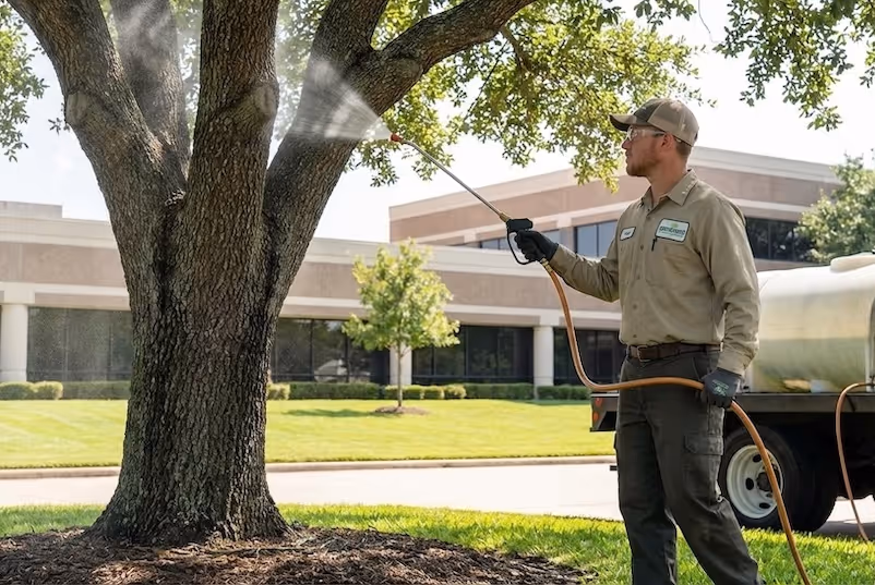
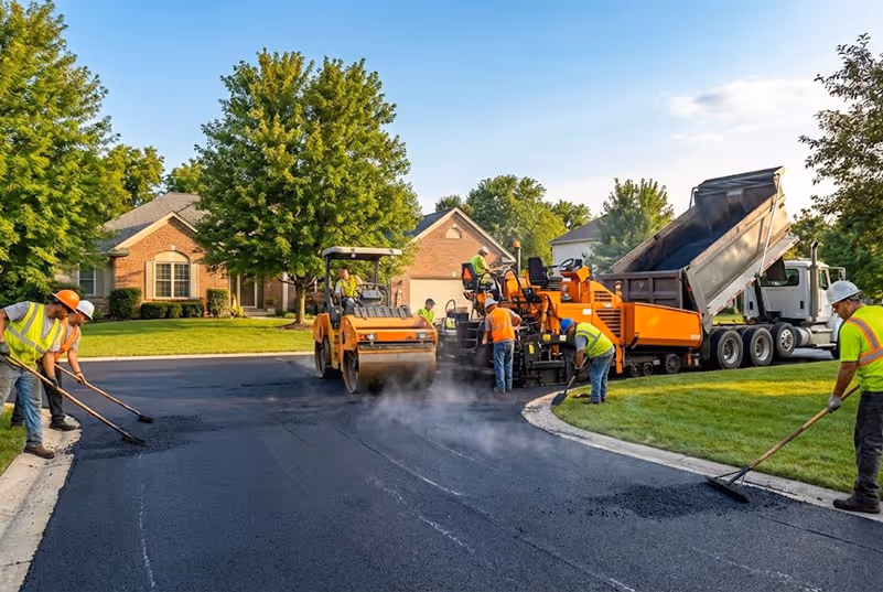
SiteRecon serves seven outdoor property service industries: lawn care, landscape maintenance, landscape construction, plant health care, snow removal, utilities and sitework, and paving and asphalt. Our AI-powered measurement platform adapts to the unique estimating needs of each industry, from turf area calculations for lawn care to pavement surface measurements for snow and paving contractors.
SiteRecon's AI analyzes high-resolution satellite and aerial imagery to identify and measure property features like turf, hardscape, beds, parking lots, and rooflines. Users can request measurements through voice commands or text chat, and the AI delivers accurate takeoffs in minutes without requiring a site visit. The technology continuously learns from millions of measured acres to improve accuracy.
Yes. SiteRecon integrates with leading landscape industry CRMs including Aspire, LMN, SingleOps, Arborgold, Real Green, BOSS, Jobber, Service Autopilot, and others. These integrations allow you to sync property measurements and estimates directly into your existing workflow, eliminating double data entry and keeping your sales pipeline moving.
SiteRecon delivers high accuracy measurements comparable to on-site measurements, but in a fraction of the time. Our AI-powered takeoffs are validated against millions of acres of measured properties across North America, and users can easily adjust measurements when ground conditions differ from aerial imagery.
Unlike generic construction takeoff tools, SiteRecon is purpose-built for outdoor property service contractors. The platform includes industry-specific measurement layers (turf, beds, hardscape, snow zones), integrates with landscape CRMs rather than general construction software, and provides localized production rate benchmarks based on real contractor data from your region.
Ready to start
SiteRecon works across your industry. Get started with a free trial and see the difference real-time intelligence makes.